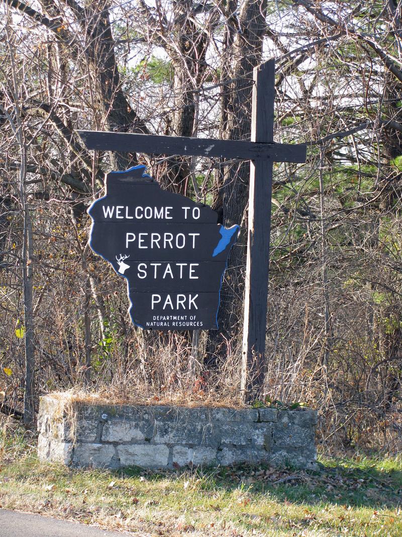
Perrot State Park
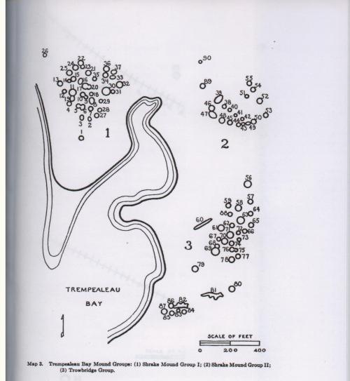
(Trowbridge Group & Shrake Group II)
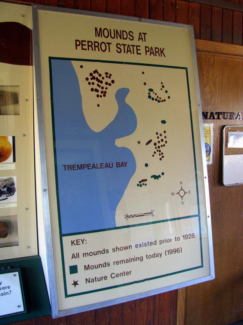
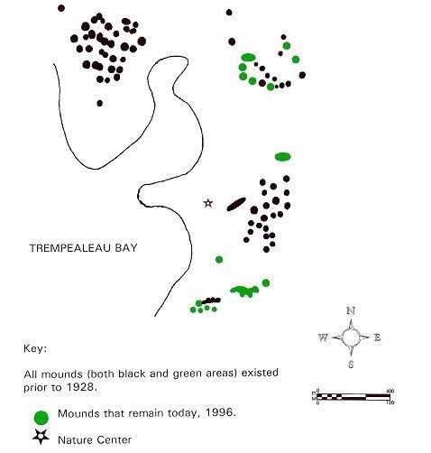
Perrot State Park apparently features several groups of mounds. One of the maps at the bottom of this page shows extant versus
extinct mounds in the area, although it's very inaccurate and all but impossible to read since the only other park's feature shown there
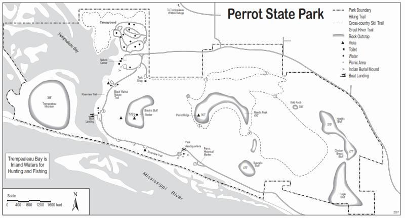
is a Nature Center. The actual map of the park shows several locations of the mounds that are accessible and open to the public.
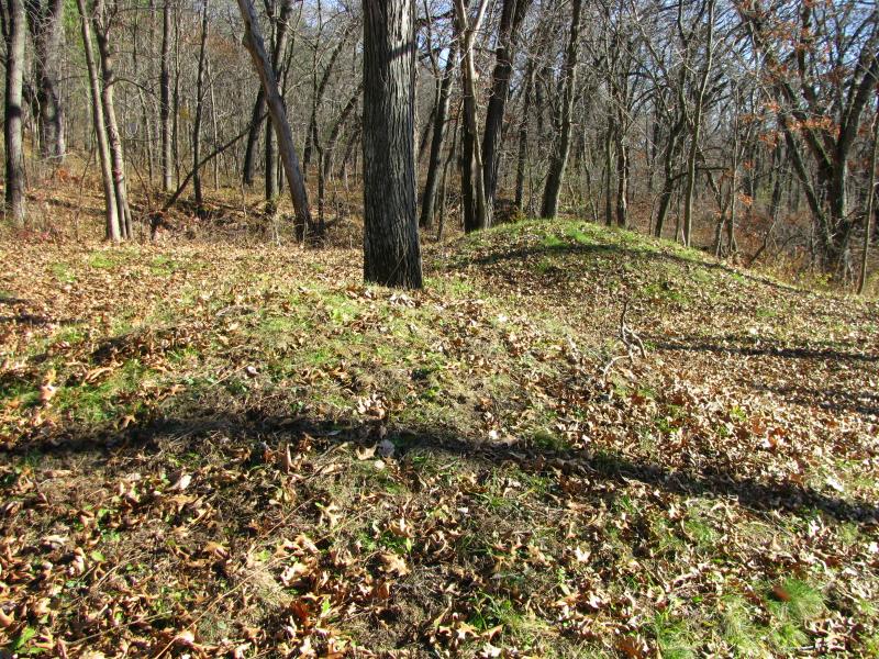
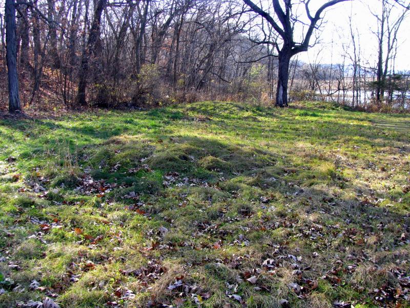
If you drive into the park following riverbank road from Trempealeau, the first group of mounds will be to your left just before you
reach park office. I counted 11 (possibly 12) conical mounds there, nicely scattered on both sides of the trail (you can walk from the
office's parking lot). Mounds are in decent condition, although I found some bald spots that need to be patched up to prevent
deterioration from elements. It appeared the grass on the mounds was sheared, and maybe mowed See above).
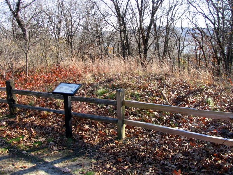
The parking lot and picnic area immediately after park office hosts another conical mound - this one much better protected by the
wooden fence and with grasses grown on it and interpretive tablet. This one and the mounds described above don't seem to belong
to any named group (see below).

According to the park map, there is supposed to be a mound (or mounds) just down the road between first overlook and Horseshoe Falls.
The area there is very steep, but I saw what might be mounds on the ledge below the road. It's hard to make sure since those possible
mounds were covered with growing and downed trees and shrubbery.
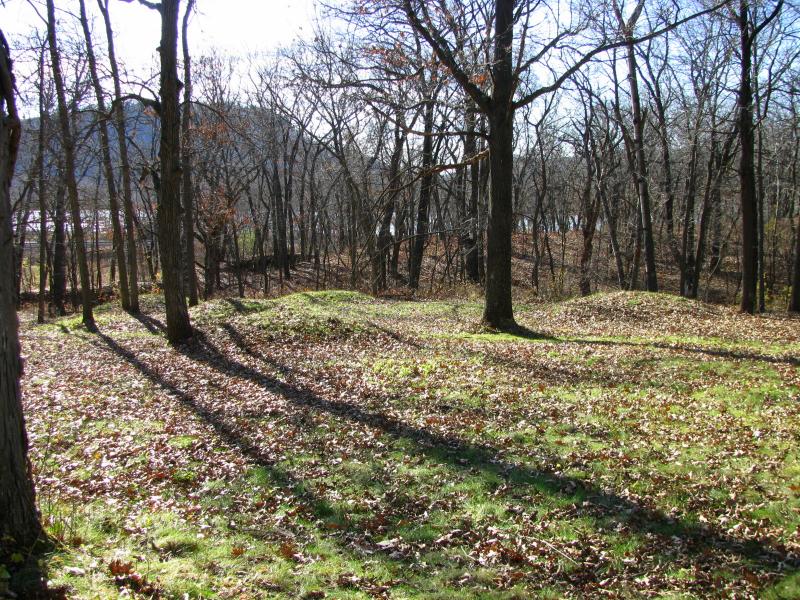
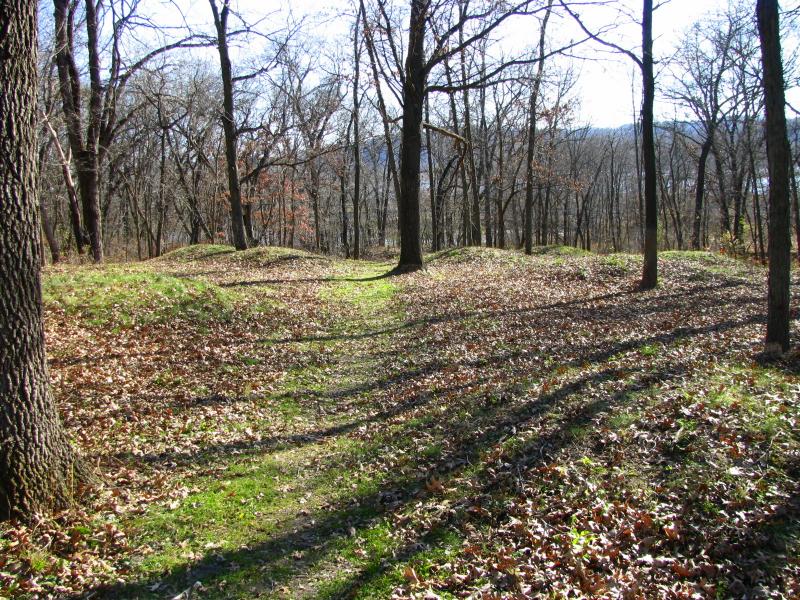
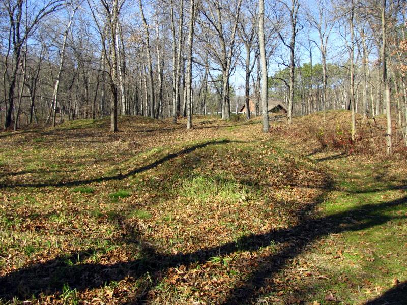
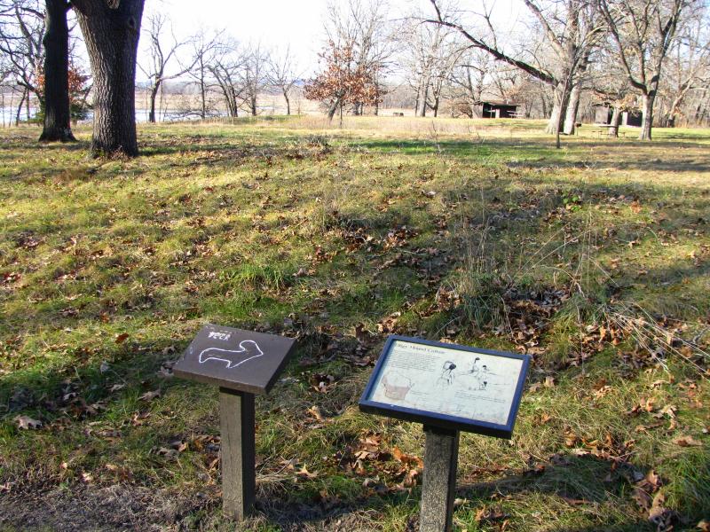
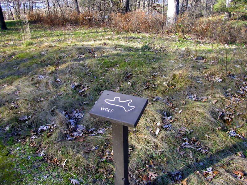
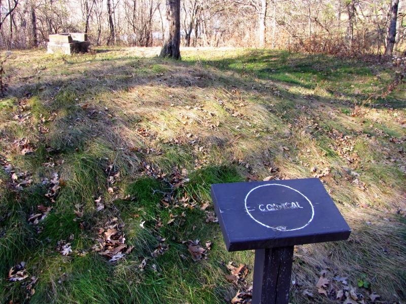
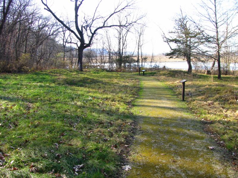
Further down the road, next to the parking lot just before you reach the Nature Center, is the best-marked group of mounds in the park.
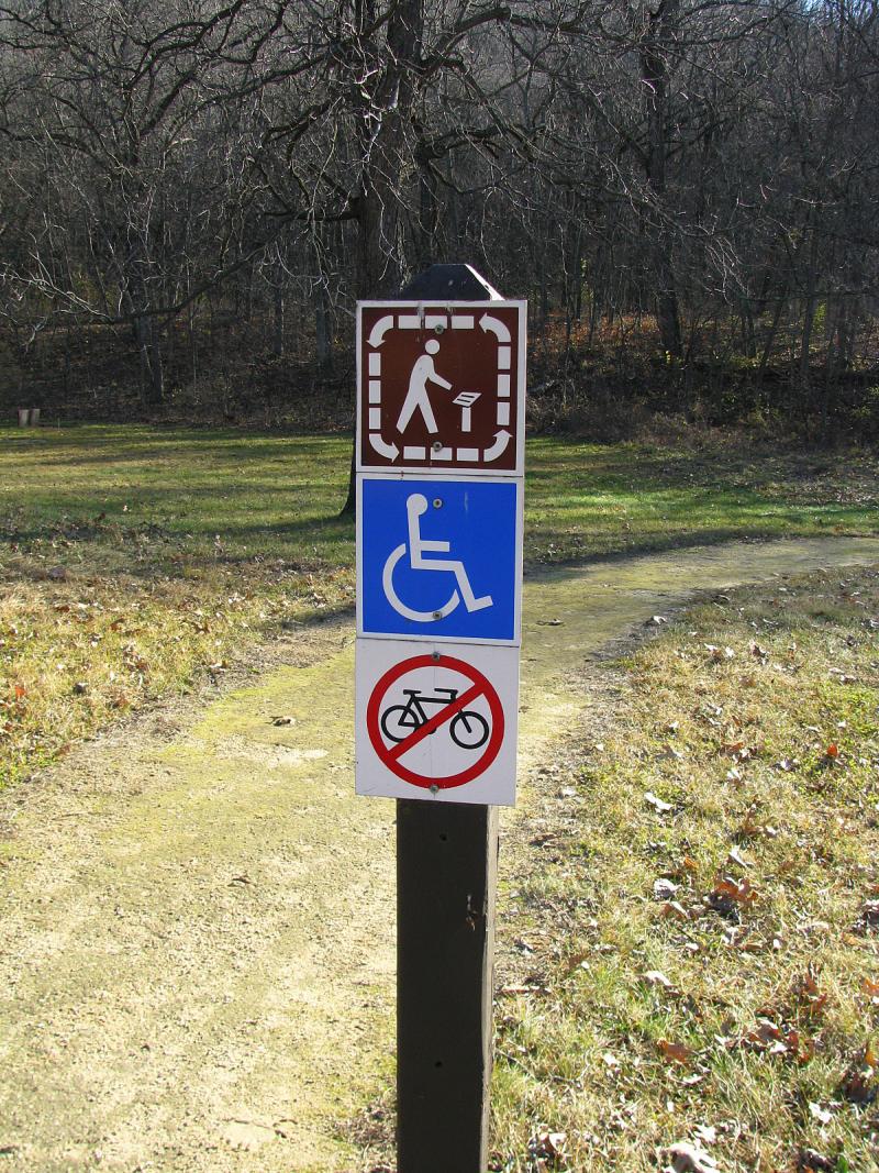
This seems to be the Trowbridge Group. Find the trail starting at the parking lot and marked with "Interpretive trail" icon (it doesn't
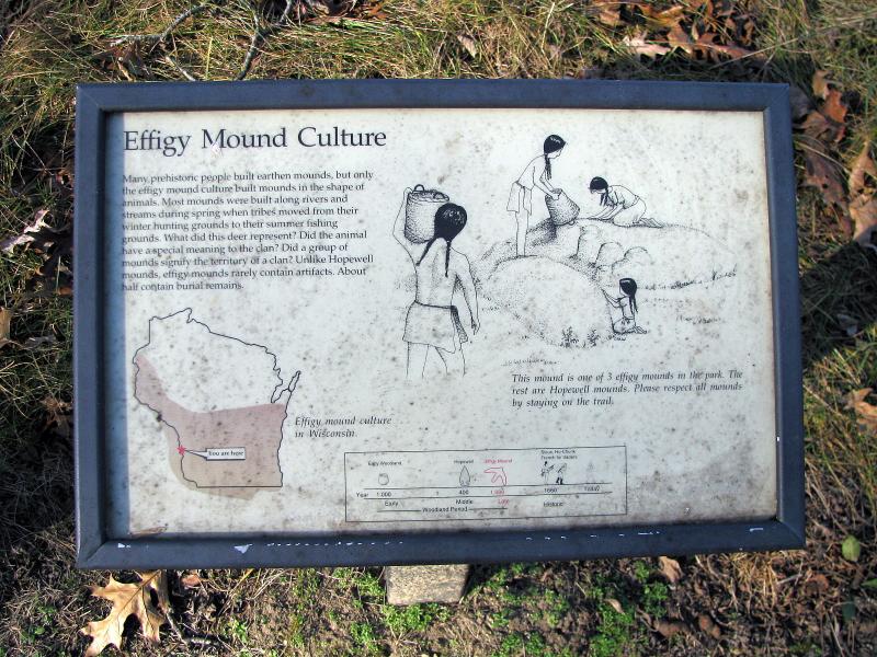
explicitly mentions mounds). Just down the path you'll see marked deer and wolf effigies and one conical mound on the right side
of the trail and 4 unmarked conical mounds on the left side of the trail. Effigies look very low and degraded, beaten by time. But
on the bright side, the entire group is covered with thick mat of grass, preventing further erosion by elements (see below).
It seems there might be more mounds in the park, but they're are out of the way and not easily accessible and not marked. For example, Shrake Group II is supposed to be in the campground area (Shrake Mound Group I has been destroyed). While in the park, don't forget
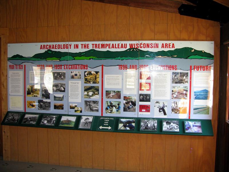
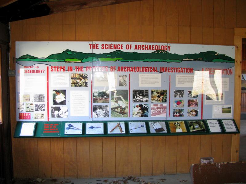
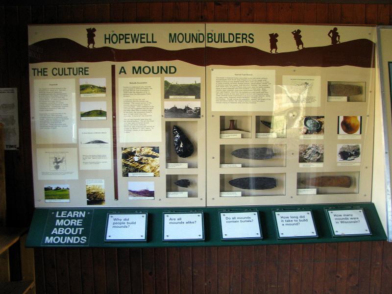
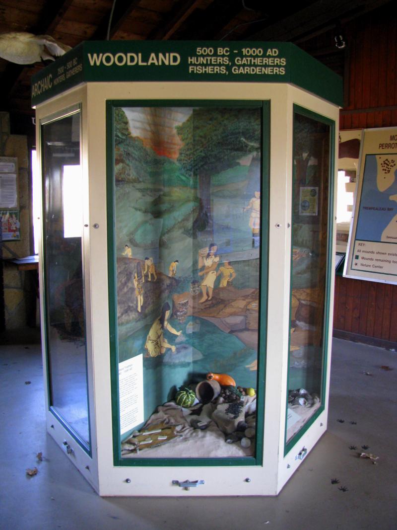
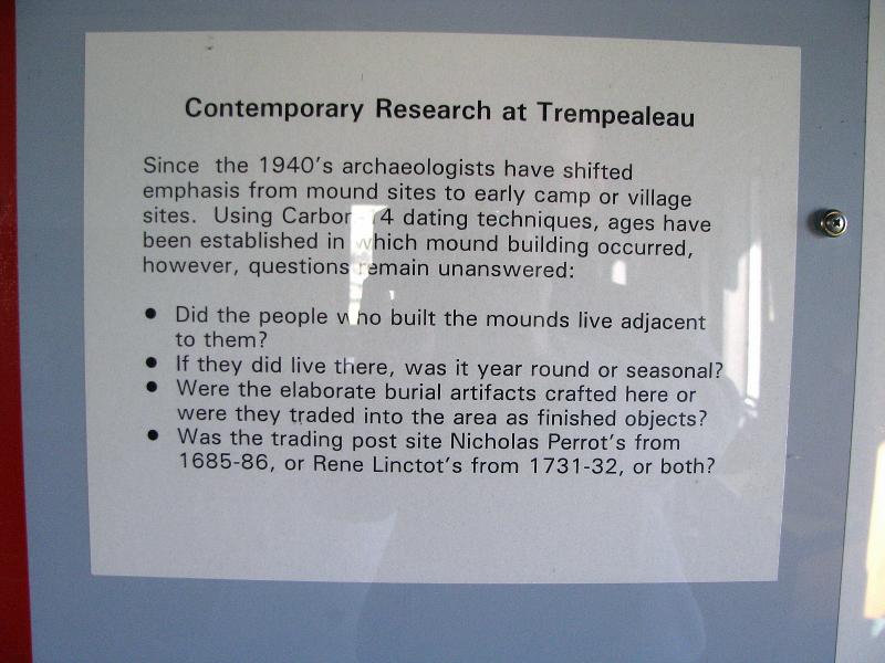
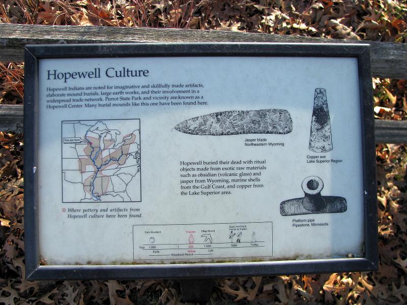
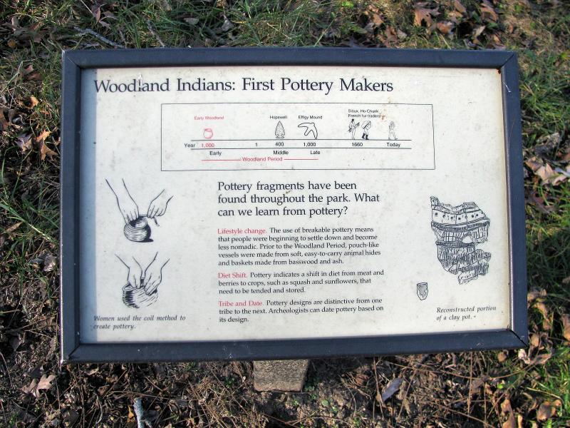
to visit the Nature Center - it hosts a very nice exhibit on archeology of Upper Mississippi in general and research of Indian Mounds in particular (see below).