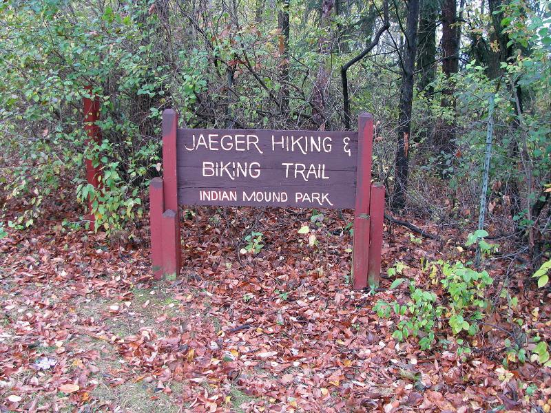
Indian Mound Conservation Park
(Lewis Mound Group)
National Register of Historic Places
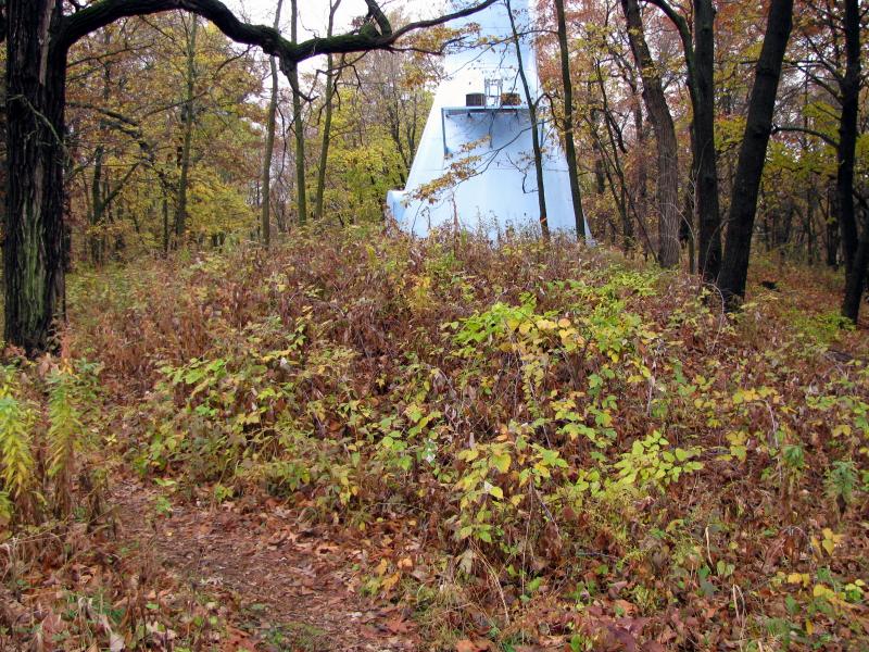
Located between the appropriately named Indian Mound Middle School and Indian Mound Drive, the park is hard to miss since it also
hosts the village's sky-blue water tower. Part of the park also serves as a McFarland School Forest.
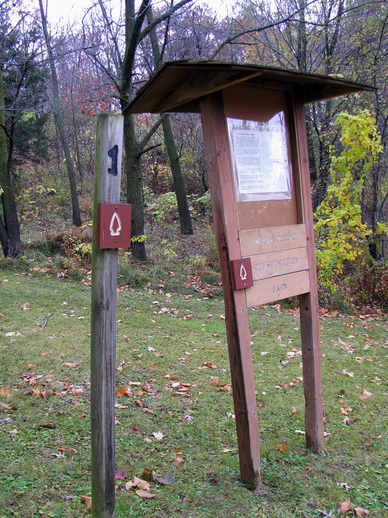
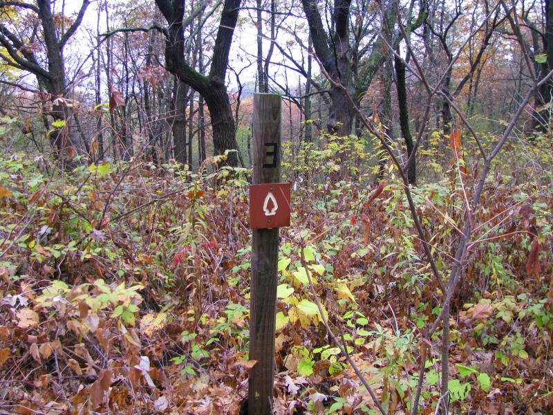
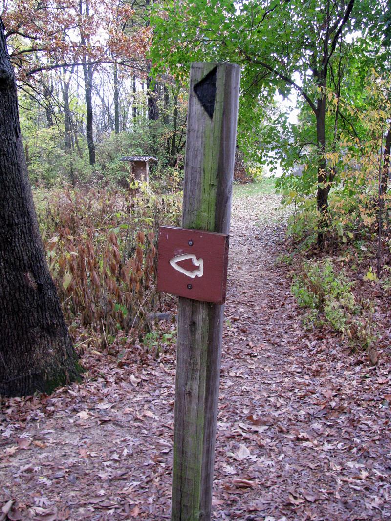
The trail starts at the bottom of the park facing Burma Road, near informational stand and marker #1. As you go uphill on asphalted
road, look for the barely discernable trail on your right (unfortunately unmarked) - this is a mound trail. As you climb the hill, you can
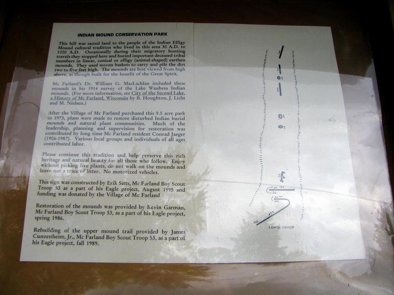
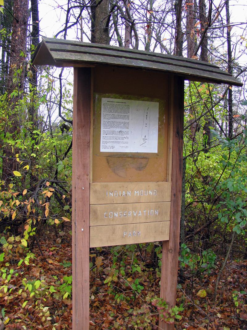
see what appears to be linear mounds in the thicket to your right. Looking at the map of this group (one is on the informational stand),
there are supposed to be linear mounds right in this location (the uppermost two on the map). But the park officially preserves only
seven mounds, the rest supposedly destroyed in the past, and these two aren't supposed to be extant. As you continue up the trail,
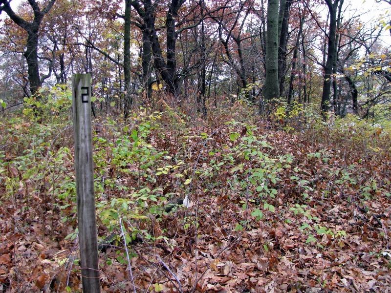
you'll reach the marker #2. It's right next to the first conical mound, and the linear mound starts here too and continues toward the
water tower, ending at the marker #3. One oval and one conical mounds just before you reach water tower are on both sides of the
path and are hard to miss. Cresting the top of the hill, trail begins to descend down toward the Indian Mound Drive. When you spot
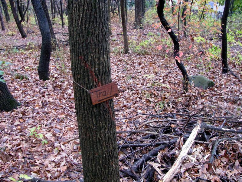
little wooden bench, look around - the bear effigy is right next to it. Further down, you'll see a tiny wooden tablet on the tree with
an arrow showing direction of the trail - that's the section of the trail that was rerouted to avoid impinging on the second linear mound, stretching uphill from this very spot. Finally, the trail weaves around very strange curved mound resembling a hook (some consider
it a tail of a panther). It's hard to discern, but when you reach the next marker pole, look back uphill and you might be able to see it.
Upon leaving the park you'll see another, identical informational stand
This group received lots of publicity in the past. Many volunteers, including McFarland Boy Scout Troop 53, worked to clear the mounds
and reroute the trail to avoid trampling on the mounds, ever since the village purchased this site in 1973. In recent years, though,
it seems that mounds have been abandoned. Invasive shrubs are slowly but surely taking hold on the mounds, while some trees were
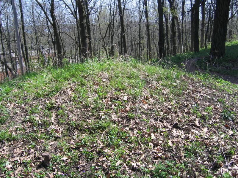
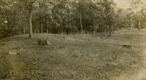
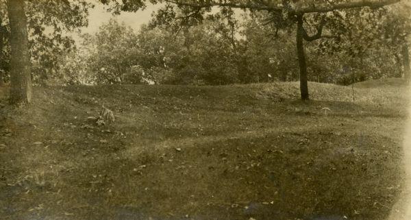
never removed. In fact, two of the photos on this page were taken 3 years ago (the ones where trees are completely lacking foliage),
and you can see mounds very clearly on those, while today the vegetation's taking over. I hope the village of McFarland and its
volunteers will return and help to keep this group in a good shape (they will according to an article below).


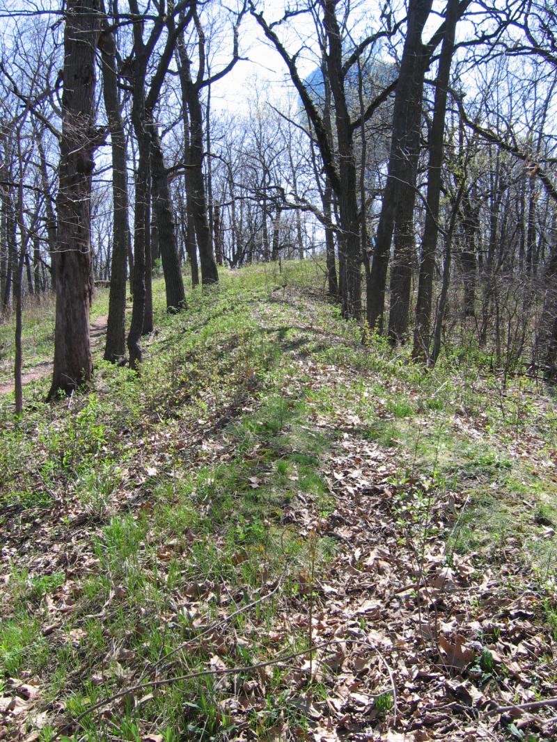
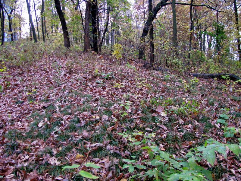
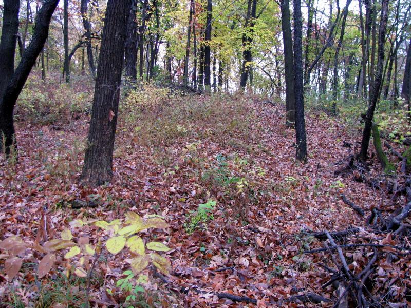
Linear mound of the Lewis Group
Linear mound of the Lewis Group

Article from Wisconsin State
Journal, 2009 (2 parts)
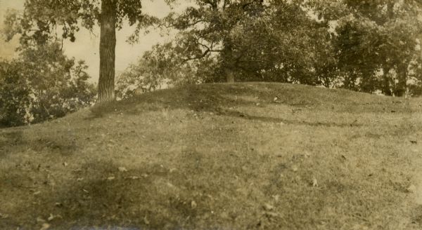
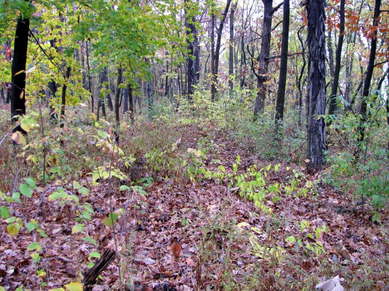
Oval mound of the Lewis Group