Bedora Mound Group
Not much is known about this group. The only information I could find is on the page devoted to Historic & Archeological Sites of
To find the group, go up north all the way to Oconto County to the White Potato Lake in the Town of Brazeau. It gets tricky from here.
One has to drive on Highway 64 south of the lake, then head north on South White Potato Lake Road, which circles the lake
counter-clockwise, at some point becoming North White Potato Lake Road and eventually West White Potato Lake Road. Just before
you reach the intersection with Indian Trail Road, leave your car and walk south into the woods. It's a pretty open woodland, and
you'll se some cottages in the background, so walk toward them until you encounter mounds. Private land starts right beyound the
mound line, so don't go further. Unfortunately, there is no markings whatsoever for the mound group and no distinction on the
ground between private and public lands.
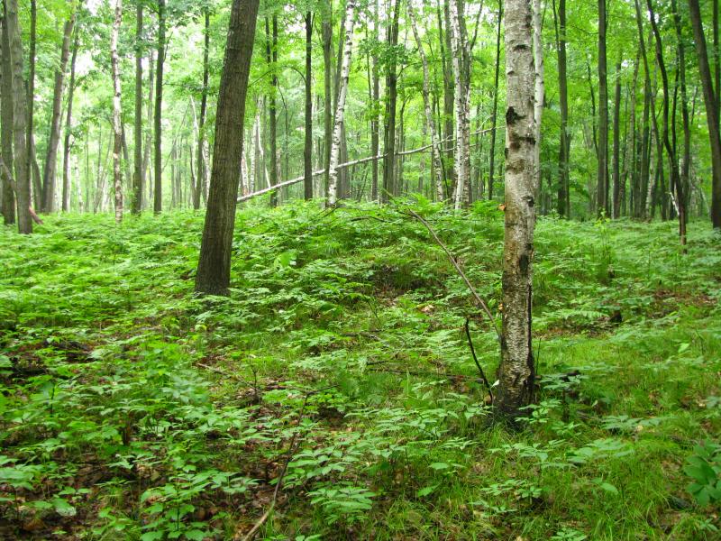
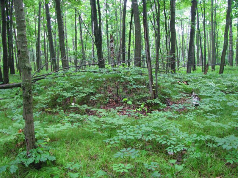
The group consists of two large linear mounds, two smaller conical mounds, and an ovoid shaped mound with a twisting “tail”
(I didn't personally find every one of them). Mounds are in wooded area, most covered by grasses with some small shrubbery and
debris on top. This group could use some care and markings, but on the other hand, considering its location, we should be
appreciative of the fact that it was saved from destruction.